Lac de Lozon, circular walk from Lozon

Edited by:
Massimo Martini
Updated at: 14/08/2026
Access
Leave the Châtillon-Saint-Vincent motorway junction [A5], turn left and continue for about 300 metres until you reach the roundabout. At the roundabout, take the third exit and join Via Emile Chanoux. Follow Via Emile Chanoux for 600 metres, passing through the historic centre of Châtillon, and turn slightly right onto Via Menabreaz. Continue for 450 metres until you reach the roundabout with the “Matterhorn” monument in the centre, and take the second exit to join the regional road towards Valtournenche. Follow the regional road for 8 km to Antey-Saint-André where, at theHotel Filey, turn left onto the regional road towards Torgnon. Follow the regional road for about 6 kilometres until you reach the main town of Mognod. Turn left and continue along the regional road to Col Saint-Pantaléon. From the pass, descend for a few kilometres to the hamlet of Cheresoulaz where, turning right, you take a small road that leads you to the village of Lozon in a matter of moments: on the left, just before the village, you’ll find the free local car park 🅿️.
[0h32'] - [21.7km]
How to get there with GMaps
How to get there with Apple Maps
The directions provided have been carefully checked as of the date the route was mapped. However, we strongly recommend checking for any changes that may have occurred since then, particularly regarding the route to the starting point. Before setting off, it is advisable to consult up-to-date navigation tools to obtain precise and current directions. We recommend using satellite navigation apps, such as Google Maps or Apple Maps, to ensure the greatest accuracy and safety of your journey. Where to leave your car.
Introduction
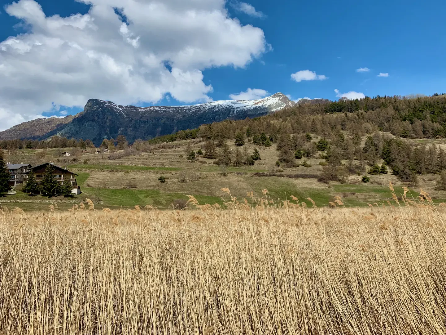
A short circular walk that winds around Lake Lozon, in a hollow in the Verrayes countryside, just above the hamlet of Lozon, from where it begins. The route, which follows paths and farm tracks almost entirely, passes the chapel dedicated to Saint Barbara before descending gently towards the wetland surrounding the lake.
Lake Lozon lies at the heart of a regional nature reserve, also recognised as a Special Area of Conservation: the peat bog covering much of its surface is home to marsh vegetation rare in theAlpine region, including insectivorous plants and various species of orchids, as well as a particularly rich aquatic fauna. The walk around the lake, which is short and suitable for everyone, allows you to observe this wetland environment at close quarters, whilst staying on the marked paths as required by the reserve’s regulations.
The route presents no difficulties in terms of navigation nor any exposed sections; the only precaution is to comply with the regulations governing the protected area, which prohibit straying from the paths and collecting samples of flora and fauna.
Description
0h00' 0.00 km From the car park in the hamlet of Lozon, in the municipality of Verrayes, take the small municipal road and, after a few metres, join the footpath, following it for a short distance.
0h03' 0.03km Near the chapel dedicated to Saint Barbara, turn right onto path . The route descends gently towards the lake and the wetland area of the Lago di Lozon Nature Reserve, until it reaches a solitary birch tree (Betula pendula) standing alone on the edge of the pond. Continue across the meadow, turning right and skirting the pond, until you join the local road.
0h10' 0.81km Take the local road and, passing the information board for the Lago di Lozon Nature Reserve, follow it to the car park in the hamlet of Lozon (1,525m) 0h15' 1.01km .
Comments (0)
Sign in to leave a comment